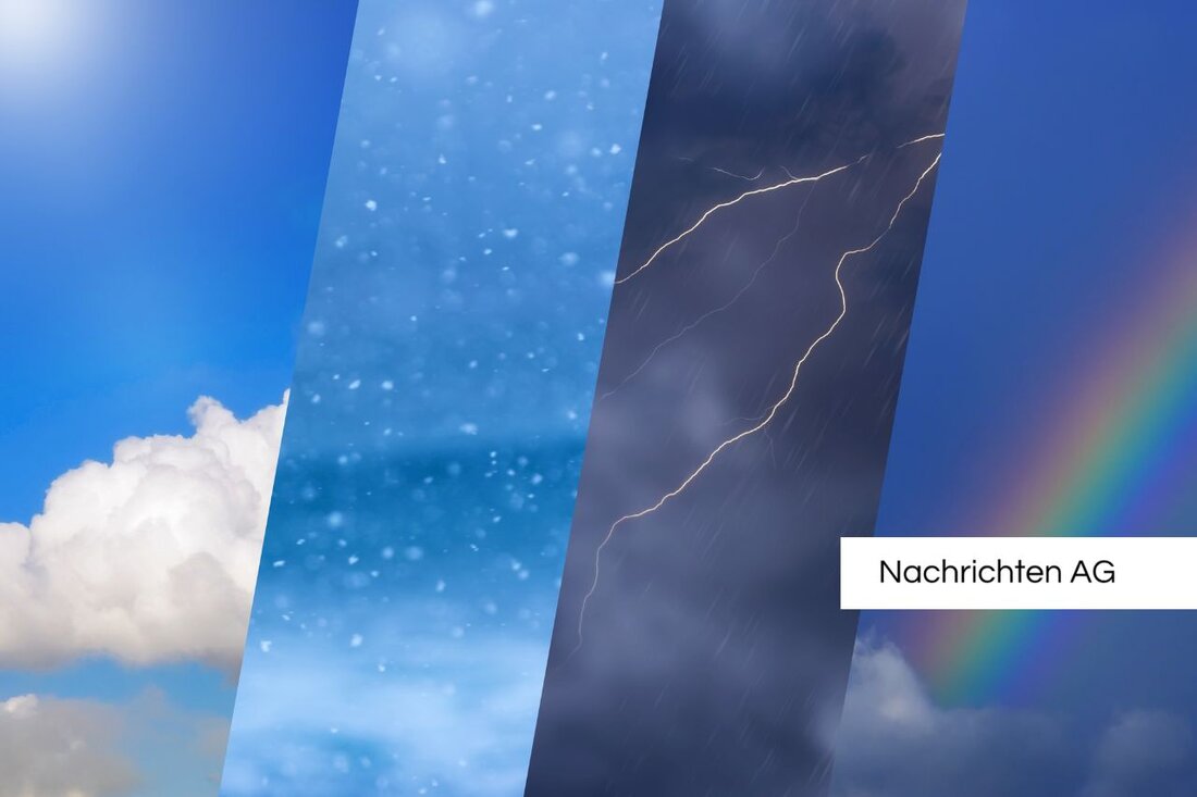
Storm warning: Thunderstorms and heavy rain threaten Carinthia and Styria!
Heavy rain and thunderstorms warn in Austria and Germany today. Experts predict super cells and possible tornados.

Storm warning: Thunderstorms and heavy rain threaten Carinthia and Styria!
On June 3, 2025, there will be a serious severe weather warning in large parts of Austria and Germany. The "Skywarn" weather service has issued a red warning level for several regions in Austria. The extreme southeast, western Alpine regions and adjacent northern areas are affected. In Carinthia and Styria, thunderstorms and heavy rain showers can be expected on Tuesday, which could affect vocational and school traffic. Especially in Carinthia, between St. Veit an der Glan and Wolfsberg, there are new strong shower and thunderstorms in the late morning.
The weather models predict the formation of super cells in the southeast, especially in the area of Leibnitz to Bad Radkersburg. These storm cells should shift to the east by 6 p.m. Then the storm is moving to the west, where a red warning level for Vorarlberg also applies. Thunderstorm cells from a west direction could form into a line that Salzburg reaches around midnight. In the second half of the night, a weakening of the ominous weather conditions can be expected.
Super cells and tornadorism
The super cells in the southeast are particularly worrying. Here there are heavy rain, gusts of wind and hail with grain sizes of up to 6 cm. The risk of tornados is also slightly increased. In western Austria, the meteorologists also expect heavy rain and hailsters with up to 4 cm. Hurricane gusts over 103 km/h are also possible. Orange warning areas characterize similar but lower dangers, while in yellow -marked regions only shower and thunderstorms with smaller hailstorms and heavy rain are forecast.Germany is at the beginning of a stormy week in which the storm potential is greatly increased. The first heavy thunderstorms moved out from the west on May 31 and affect large parts of the center and the eastern low mountain range. Storm threatens in Kassel and North Hesse, especially in Kassel and North Hesse. The meteorologist Kathy Schrey warns that the current weather conditions could be one of the most dangerous of the year and expects heavy rain of up to 30 liters per square meter, larger hail and heavy gusts of wind.
climate change and extreme weather
An increased intensity of storms is not only closely related to the current weather conditions, but is also a result of climate change. According to a report of Working Group I of the World Climate District (IPCC), the surface temperature of the earth rises faster than ever in the past 2000 years. This ear heating leads to the increase in extreme weather events, including heavy rain and flooding. Human activities are the main cause of this, and experts expect a growing frequency of extreme events that have been rare in the past.
As the "World Weather Attribution" initiative shows, climate change increases the likelihood of heavy rain cases in Western Europe by 1.2 to 9 times. The heavy rain responsible for the flood disaster in Germany in July 2021 is also an example of the devastating causes of climate change. Over 180 people died and many villages were devastated. The need to limit the earth's heat to a maximum of 1.5 degrees Celsius is becoming increasingly urgent.
The coming days are likely to be remembered because the weather conditions calmly calmly. Temporary calming is expected for the middle of the week, but new fault zones could soon bring inconsistent weather with showers and thunderstorms. The calls for adaptation to the climatic changes become more pressing, especially in view of the increased extreme weather events.

 Suche
Suche
