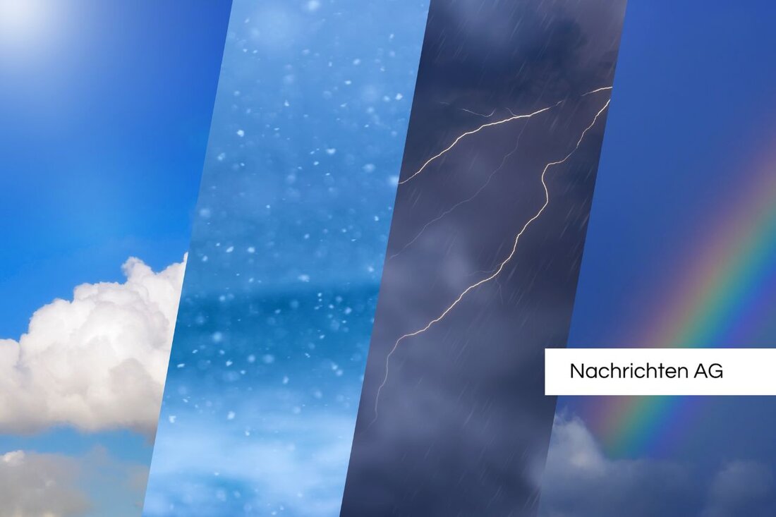
Storm alarm: cold front brings Austria into rain chaos!
Austria is preparing for changeable weather with precipitation and thunderstorms - current forecast for the week.

Storm alarm: cold front brings Austria into rain chaos!
A changeable weather period is imminent in Austria. After a high pressure phase, low pressure areas move in, bringing with them precipitation and thunderstorms. On Tuesday the weather will remain mostly sunny, with only a few clouds visible in the Waldviertel and Weinviertel. Precipitation is unlikely, while temperatures on Tuesday will be between 18 and 23 degrees and a light to moderate northeasterly wind will blow, reports Cosmo.
Wednesday will initially be more cloudy, but will initially remain free of precipitation. The first showers and thunderstorms can be expected during the day, especially in the northeastern foothills of the Alps and in the Waldviertel, which will spread to the mountains and hills in the afternoon. However, the eastern lowlands remain dry and friendly with temperatures of 18 to 23 degrees and weak to moderate southeast winds.
A change in the weather is becoming apparent
On Thursday, a cold front from a Scandinavian low pressure area hit Austria. An additional low over Italy will lead to significant rainfall, especially in the south. The clouds are increasing and showery rain is expected in the western mountains in the morning. This rainfall will spread to large parts of the country, while thunderstorms will occur in the southeast and heavy rain in the south. The maximum values reach 14 to 20 degrees with moderate to brisk westerly winds.
Friday will initially bring dense clouds and isolated showers. But as the day progresses, the weather becomes increasingly drier and the cloud cover loosens. Short-term showers are possible in the Mostviertel in Lower Austria, while the maximum temperatures are between 15 and 18 degrees. After Tuesday, the influence of low pressure in the east will ease and an intermediate high will temporarily take over. In the west and south, however, things will become unstable as a new low pressure area moves from southern France across the Gulf of Genoa to Tuscany.
The influence of climate change
The meteorological processes are largely determined by the solar radiation and the rotation of the earth. Such weather phenomena as wind, sunshine, temperature and humidity fluctuations are part of these natural processes, such as Smart climate explained. Temperature differences cause warm air to flow from the equator to the poles while cold air moves to warmer areas. The Coriolis effect influences the air masses and leads to the formation of high and low pressure areas.
Given climate change, extreme weather events such as heavy rain and thunderstorms are increasing. Loud ARD Alpha Research has shown that 70% of the extreme weather events studied have become more likely or more severe due to climate change. In Germany, for example, heavy rain events were observed from 2001 to 2019 that affected almost every place. These developments cast a shadow over the forecast weather conditions in Austria and require special attention for the coming days.

 Suche
Suche
 Mein Konto
